



Best Hikes in South Tyrol
Seis am Schlern: the Perfect Starting Point for Your Next Dolomites Adventure
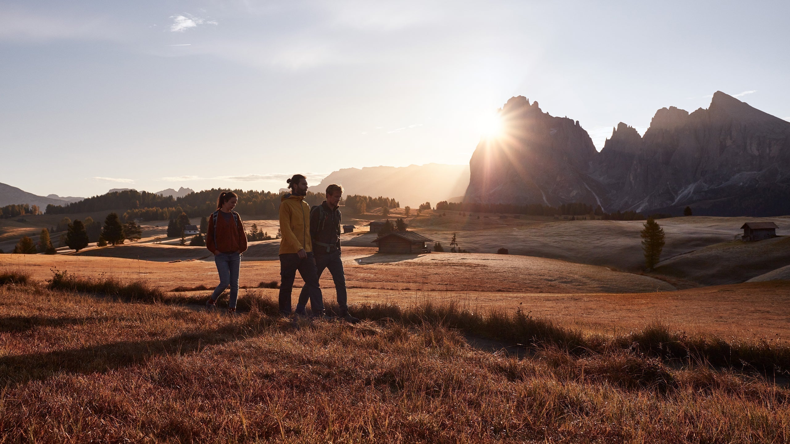
Do you know that feeling when you wake up during a hiking holiday in the Dolomites and the very first glance out of the window instantly pulls you outside? In Seis am Schlern, that’s exactly what happens. The Schlern rises powerfully and calmly above the landscape, while Europe’s largest high alpine meadow spreads out below, inviting you to explore.
What happens next? You won’t stay at the breakfast table for long. Lace up your SCARPA shoes, grab your backpack – and off you go. The only question is: where first? We have two recommendations for you.
Tour 1: Schlern
From Seis, take the cable car to Compatsch on the Seiser Alm, then follow trail no. 5 toward Saltner Schwaige. The first half leads across lush alpine meadows, along a gently flowing stream, and through varied mountain forest.
At Saltner Schwaige, refill your water one last time before the trail begins its steady climb in a series of switchbacks. With every turn, the panorama becomes more spectacular. Once you reach Schlernhaus (2,457 m), it’s well worth adding the extra 20-minute hike to Monte Pez, the highest point of the Schlern plateau.
From here, the view is breathtaking: Rosengarten, Latemar, Langkofel, and even the glacier peaks of the Stubai Alps appear on the horizon. This is the moment you climb mountains for.
Approx. 3–3.5 h ascent from Compatsch | 950 m elevation gain | moderate to challenging
Tour 2: Puflatsch Circular Trail on the Seiser Alm
Take the cable car from Seis to Compatsch, then follow trail no. 14 north. Across gentle alpine meadows you ascend to the Puflatsch plateau, where a stunning 360° panorama awaits: Schlern, Langkofel, and Plattkofel on one side, the Val Gardena valley on the other.
At the Filln Cross, the view opens toward the dramatic peaks of the Puez–Geisler group. The trail continues to the Hexenbänke, striking rock formations where, according to legend, the witches of the Schlern once rested. Several alpine huts along the route invite you to stop for a well-earned break.
Approx. 3 h | 8–10 km | 320 m elevation gain | easy to moderate